
Ounasvaara Nature Trail
About
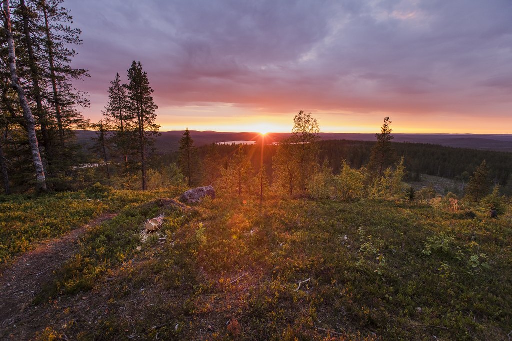
Located 2.9 km east of Rovaniemi city centre, the Ounasvaara Nature Trail is a convenient day-trip destination, even within walking distance from the centre of town. The trail is on the Ounasvaara Hill, which is a year-round sports and outdoor recreation area with marked trails and several viewpoints overlooking the surrounding landscape.
May, June, July, August, September, October
Located on Ounasvaara Hill, approximately 3 km from Rovaniemi city centre.
The route follows the southern side of Ounasvaara Hill to a log-built lean-to shelter with a campfire site and woodshed. Along the way, it passes through lush forest and a wetland area. After the shelter, the trail climbs through pine forest and across rocky areas to the northern side of the hill, where a viewpoint offers wide views of Saarenkylä and the Kemijoki River.
The trail then continues along the shore of an ancient lake before descending through pine forest back to the starting point. Signs of the Ice Age can be seen in the rock formations and along the former lakeshore. Information boards along the route provide information about local forests, wetlands, plants, tree species, geology, and the history of Rovaniemi.
The total elevation gain is 45 metres, and there are no steep climbs. Some sections of the trail are rocky and have exposed tree roots. Wooden boardwalks cross the wettest areas, but waterproof footwear or rubber boots are recommended in spring and autumn. Please note that rocky surfaces can become slippery when wet.
Find more information on this walking trail, including map details, from etiainen.fi.
Provided by: